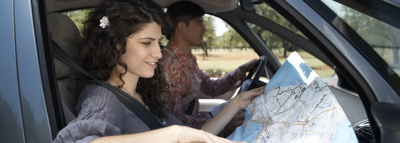
“You’re buying maps? That’s totally last century. Just use your GPS and download maps from Google or Bing.” That’s typical of the responses I get from well-meaning friends when I tell them of my trip planning. Yes, maps may very well be 20th century—or even many centuries old—but they still provide two distinct advantages over the latest high-tech systems. I have two cases in point.
Case 1: Beijing Hotel
When I’m arriving somewhere late, departing early, or staying only a day or two, I like to use airport-area hotels, or at least hotels that are close to the downtown rail-access system you find at most big Asian and European airports. For my recent stay in Beijing, an airport hotel wasn’t practical: There aren’t many, and schlepping in and out of town for daily activities would have been expensive and time-consuming. Accordingly, I wanted a hotel near the downtown terminal of the airport rail system. A quick perusal of TripAdvisor led to the possible selection of the Oriental Gardens Hotel, which earned generally favorable reviews for hotels in its price range and almost universal praise for its location near the airport train.
So far, so good. But I wanted a hotel close enough to the station that I wouldn’t have to take a taxi from the train terminal—in short, a hotel within my limited walking distance (given some serious back problems). But here I ran into one really big difficulty: No online source could tell me accurately how to walk from the terminal to the hotel. Instead, I found some confusing results.
I made the reservation through Booking.com, but its map was hopelessly inaccurate. It had the hotel on the opposite side of the very busy Ring Road and two blocks away from the hotel’s actual position. Had I relied on this map when I came up out of the underground rail terminal, I might still be wandering the backstreets of Beijing, faithfully pulling my rolling suitcase. As a check for this story, I later requested Expedia‘s location of a nearby hotel, and it, too, was off the mark—a block away and on the wrong side of another busy street.
I turned next to the “map” function on the hotel’s own website, which turned out to be reasonably close but not exact. It had the hotel on the correct side of the Ring Road, but a block from its actual location.
Copying and pasting the hotel’s street address into Bing and Google mapping programs came fairly close but not right on the mark.
Finding the precise location, fortunately, was a snap. I simply looked at my printed map and it had a nice little dot exactly where the hotel was located. Walking there from the train terminal was easy, with no detours or false starts.
As an added benefit, I’ve found that printed maps are a big help for taking taxis in foreign countries that do not use the Roman alphabet. Yes, I always carry something from the hotel in the local language, but that doesn’t always work. What does work is showing a driver where I want to go on a good local map. This has the added advantage of letting the driver know you can check on the trip’s progress and detect being “taken for a ride.”
Case 2: Exploring the Italian Countryside
You can’t beat Google, Bing, or a good GPS for showing you the best way to get from point A to point B. But those optimal routes—complete with detailed distance and turning cues—are not always what I want. Of course, optimal means that if there’s a superhighway option, that’s what the system presents. Instead, I often like to make my city-to-city trips short, and use the smallest byways to explore the countryside in leisurely detail. You just can’t plan out a trip like that online. Instead, you need a highly detailed paper map on which you can lay out the selection of back roads that look most promising.
I’m certainly no Luddite: I’m computer literate and use online resources constantly for both work and leisure. But often the old system of printed maps works better—and I’m happy to endorse those proven trip-planning assets in the few cases where they really are a better technology.
You Might Also Like:
- 10 Tricky Travel Scams (And How to Beat Them)
- Are Some Hotels Fining Guests Who Leave Bad Reviews?
- Hotel or Car Rental Overbooked? Here’s What You Can Do
Ed Perkins Seniors on the Go is copyright (c) 2012 Tribune Media Services, Inc.
We hand-pick everything we recommend and select items through testing and reviews. Some products are sent to us free of charge with no incentive to offer a favorable review. We offer our unbiased opinions and do not accept compensation to review products. All items are in stock and prices are accurate at the time of publication. If you buy something through our links, we may earn a commission.
Related
Top Fares From
Today's Top Travel Deals
Brought to you by ShermansTravel
Kenya: 14-Night Tour, Incl. Tanzania &...
smarTours
 vacation
$7125+
7-Night Caribbean Round-Trip Cruise From Orlando:...
Norwegian Cruise Line
 cruise
$739+
Ohio: Daily Car Rentals from Cincinnati
85OFF.com
 Car Rental
$19+


